GIS Seminar in Bali
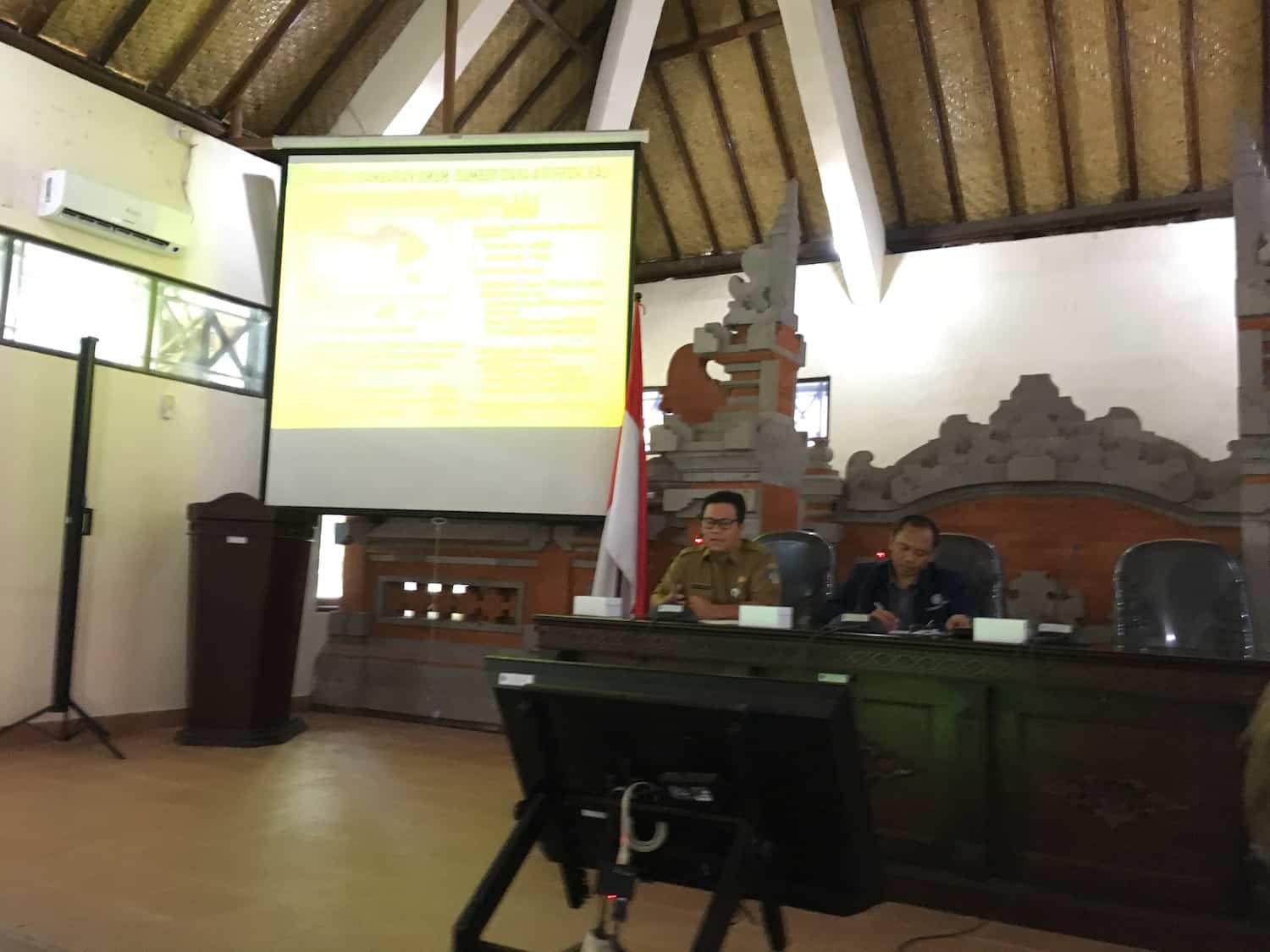
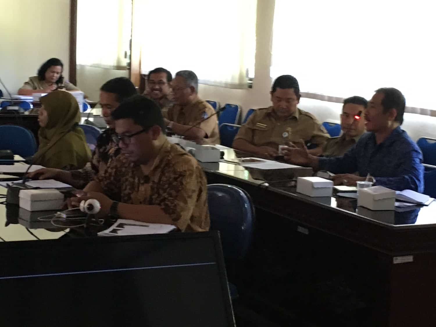
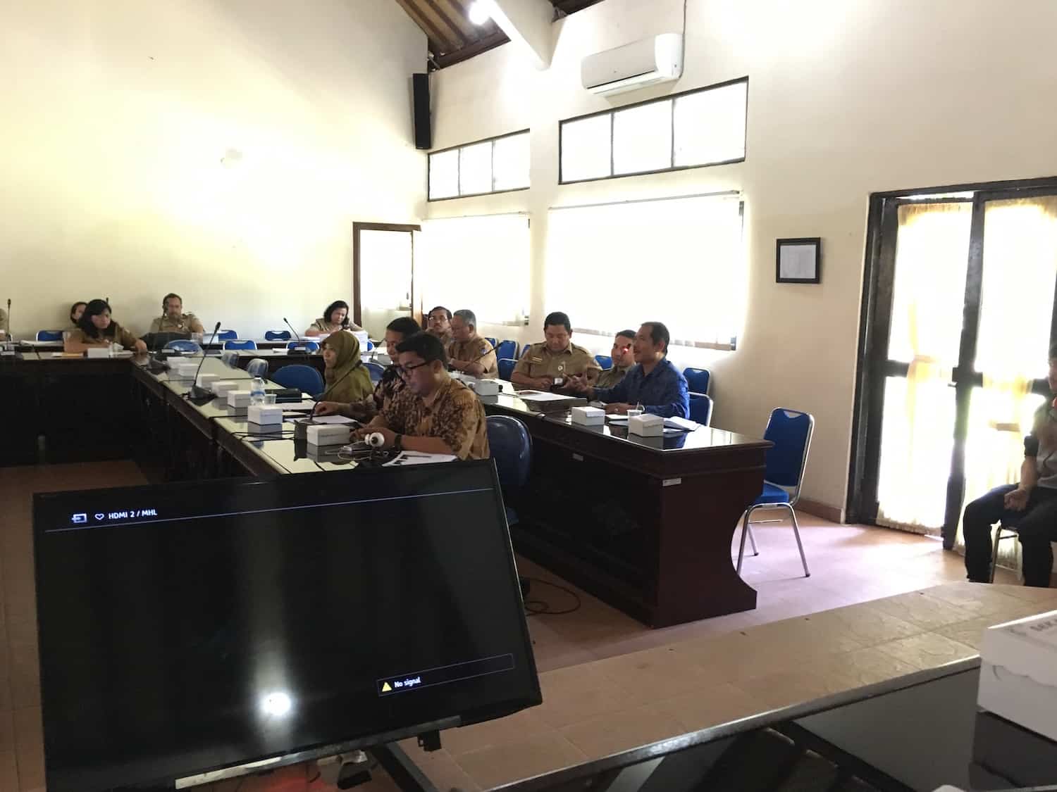
On November 19, 2018, in Udayana University (Bali), Indonesian and Russian scientists conducted a seminar aimed at studying how GIS technology can help in reducing pollution of surface and groundwater in Bali, Indonesia.
During the seminar, the experts agreed that on the island of Bali, as in all of Indonesia, there is a problem of pollution of surface and groundwater, threatening the quality of agricultural products, the development of the tourism industry and the health of the population. The reason for this is the extreme anthropogenic load in some areas of Bali: drinking sources are significantly polluted, subaks and farms do not have enough clean water for irrigation, the quality of the available water is not suitable for the development of intensive fish farming. Moreover, the pollution of the water resources of the island of Bali is distributed extremely unevenly.
To stop further pollution of surface and groundwater, and then clean them, it is necessary to fully identify and record all the most dangerous zones of pollution of the island – both large and small, primarily in those areas, zones where groundwater is steadily polluted most intensively.
The experts’ main concern was that the annual monitoring conducted by the Environmental Bureau provided a far from complete picture of the distribution of pollution sites and in general did not give any trend about the dynamics of pollution over time.
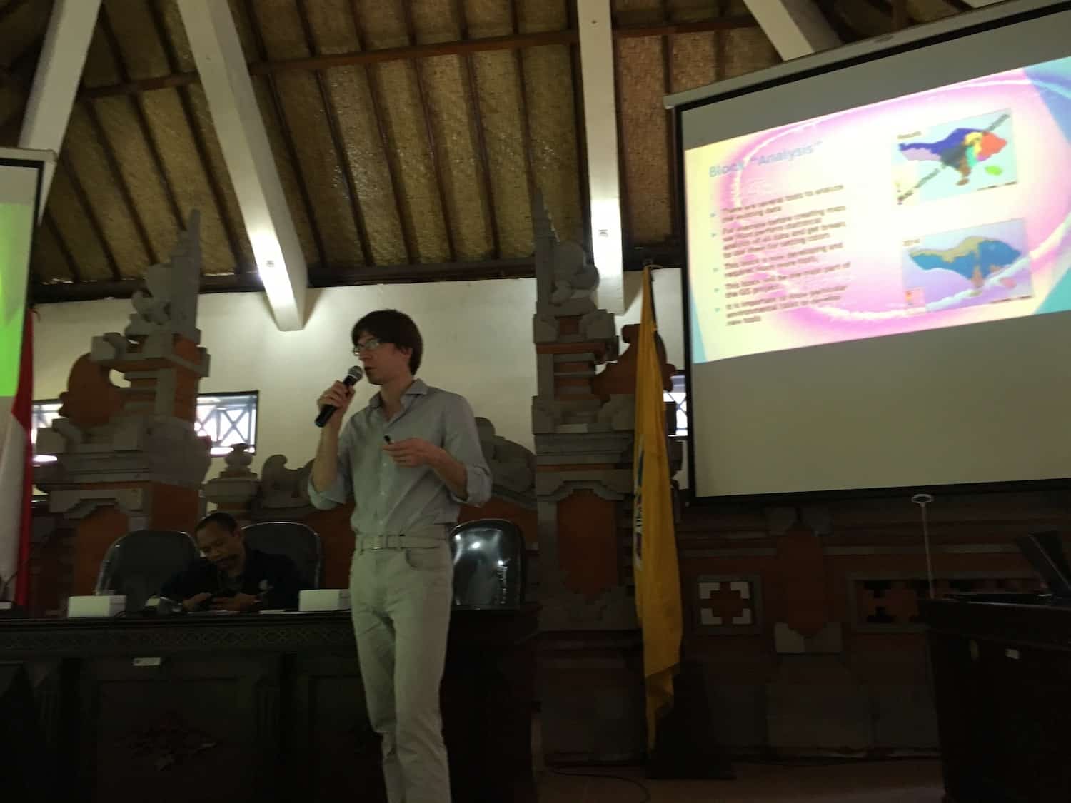
The participants suggest creating a database with the highest possible monitoring points. The most effective method for data collection, for their analysis and for visualization of water pollution is a GIS.
Thus, with proper scientific research and with full monitoring covering the water resources of the island as a whole, GIS will allow in the shortest possible time to move to effective water management. GIS can be used to identify solutions to other (for example) agricultural problems. For example, to localize areas with excessive load on chemical plant protection products (pesticides, herbicides, etc.). The developed GIS will automate the creation of Reports on the state of joint letter to the Ministry of Agriculture of Indonesia with a suggestion to develop such GIS to avoid irreversible changes in ecosystems of Bali.
Source: Moscow State University